This was originally going to be a longer post, with each day of backpacking written out in a more narrative format but many months have passed since I started the draft and I'm not sure I will have the time to really write this out. For now, just to get something out, I'm going to bullet-point out the main things I remember from each trip and call it a day.
Yosemite: Snow Creek to Mt. Watkins, Cloud’s Rest
Day 1: Mirror Lake up Snow Creek, to Mt. Watkins (9 miles, 4,900 ft elevation gain)
- First multi-day backpacking trip I've ever gone on, and last backpacking trip was back in 2022.
- Was originally supposed to go with co-workers but they had to back out of the trip a week before; I decided to go anyways since I could get a permit
- Drove into Yosemite from the bay the morning of, starting at 5AM
- Got permit and started hike around 9:30 AM, I really wanted to get moving as quickly as possible to beat the heat; it was supposed to be 100F in the valley in the afternoon. I hiked about 1.5 miles extra from the parking lot to the Wilderness Center, but caught a bus to the Ahwahnee to start the hike.
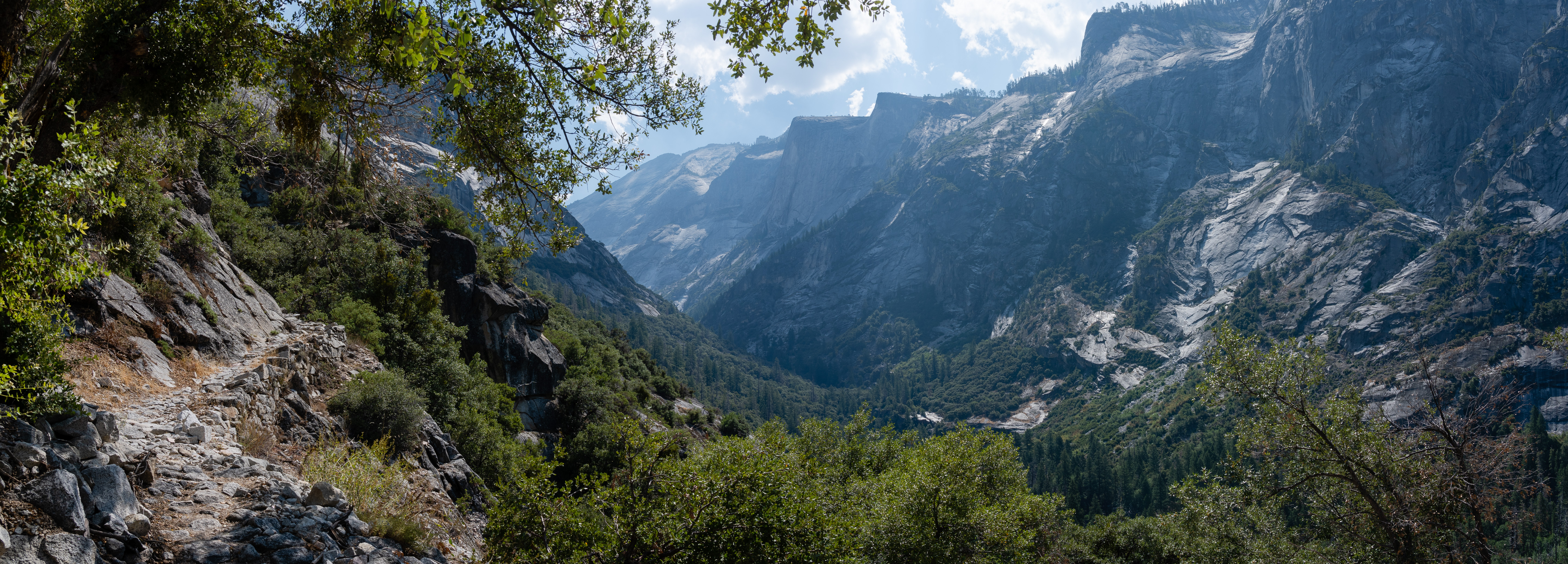
- Heading up Snow Creek trail in the heat was not easy. I should have drunk more water on the way up and at the stop at the creek bridge; I was definitely dehydrated in the last day. No reason not to drink more water when there are so many sources!
- Ate lunch at the Snow Creek bridge and soaked my feet in the creek. Don't let your feet soak for too long if you still have hiking to do!
- Camped at the top of Mt. Watkins and had a burst of hail before the sun set. Then all calm and clear through the night.
- Could barely sleep for some reason, only really got an hour or two of good sleep near the end. Probably nervousness.
Day 2: Mt. Watkins to turnoff past Cloud's Rest (12.2 miles, 3,100 ft elevation gain, 2,600 ft elevation drop)
- Surprisingly not tired in the morning
- Hiked to Tenaya Lake and got more water and went for a short swim
- Pretty much no mosquitoes. I was here a month before to day-hike Cloud's Rest with friends and the mosquitoes were pretty much hell on earth. I had easily more than 30 bites per arm.
- Went over Cloud's Rest, had lunch at the top, and then headed down a bit to my next campsite. I could have definitely made it all the way back to the valley the same day, but my trip was supposed to be multiple nights. :)
- Again, I had trouble sleeping but didn't feel tired. Saw some people hiking up to Cloud's rest at night, which is honestly a great idea to avoid the heat of the day
- Could see the headlamps of people going up Half Dome in the early morning
 |
| Lake Tenaya |
 |
| Sunset and Half Dome. |
 |
| Hikers summitting Half Dome before sunrise. |
Day 3: Turnoff from Cloud's Rest to Happy Isles (8.5 miles, 5,600 ft elevation drop)
- Definitely should had drunk more water the previous days, was feeling dehydrated in the morning
- Booked it down to the Cloud's Rest/JMT junction to refill on water at Sunrise Creek
- Had very normal descent into the valley via the Mist Trail, saw one rattlesnake on the way down from Nevada Falls.
- Ate the Curry Village pizza and had an ice cream at the end :)
- Quick swim in the Merced river to cool down from the afternoon heat and then drove home
Kings Canyon: Rae Lakes Loop
Day 1: Road's End to Woods Creek/JMT (15 miles, 4,600 ft elevation gain)
- Realized I forgot my hiking poles the night before when I reached Fresno. I was able to buy a set at Walmart the morning I headed out to the trailhead.
- Reached Road's End and got my permit after listening to the ranger's bear warnings.
- Started my hike around 9:30 AM; wasn't sure if I was going to stop at the South Fork of the Kings River crossing at Upper Paradise Valley, or make it to the JMT Woods Creek bridge
- Ate the first quarter of my sandwich about 8 miles in. I just wanted to keep climbing up higher to escape the heat. Saw one rattlesnake during this segment.
- Got to the South Fork of the Kings River crossing around 2PM and ate another quarter of my sandwich. Decided to push on to the JMT crossing.
- After about 15 miles for the day, and I was ready for a rest. The campsites around the bridge were quite nice. and there was a bear box I could put my bear can into. There were many other campers there, either doing the JMT or the lake loop. I ate the last half of my sandwich and washed off in the river. It was still hard to fall asleep; not sure why.
 |
| Start of the hike from Road's End. |
 |
| The Sphinx in the distance. |
 |
| Brought along Chiikawa again for this hike. |
 |
| Wood's Creek bridge crossing. Fun bridge to walk on. |
 |
| First night's camp. |